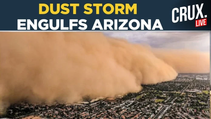
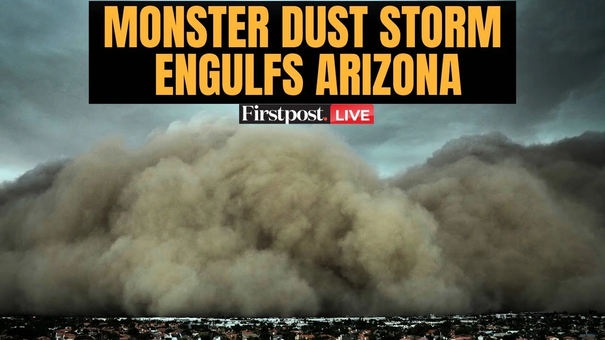
Let’s be honest. You’ve seen the videos. A colossal, churning wall of brown sand, thousands of feet high, rolling across the desert and swallowing an entire city like something out of Mad Max or Dune . It’s the annual spectacle of the Phoenix dust storm , and every time it goes viral, the world stops and stares. My first thought, years ago, was that it had to be CGI. It just looks too impossibly cinematic to be real.
But it’s very, very real. And what fascinates me is that while the visuals are from Arizona, the science and the experience behind it are surprisingly familiar to us here in India. This isn’t just some freaky American weather event to watch on Instagram. It’s a powerful story about meteorology, climate, and a phenomenon that has a local cousin you might already know: the Andhi .
So, let’s sit down with our chai, pull up a chair, and break down what’s really happening when the sky turns dark in Phoenix. Because the “why” behind this monster storm is more interesting than the footage itself.
It’s Not Just Dust, It’s a “Haboob” – And Yes, That’s a Real Word
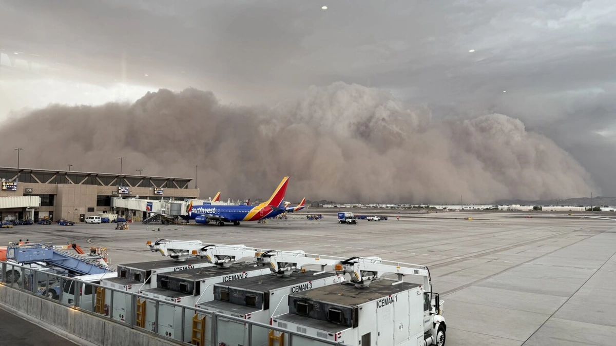
First things first, the experts don’t just call it a “dust storm.” The proper term for this specific kind of weather event is a haboob . The name comes from the Arabic word habb , meaning “wind,” and it perfectly describes these intense, wind-driven dust walls that are common in arid regions like the Sahara Desert, the Middle East, and, of course, the American Southwest.
So, what makes a haboob different from just a windy, dusty day? It’s all about the origin story.
A haboob isn’t just wind picking up loose sand. It’s the direct, violent result of a collapsing thunderstorm. Imagine a powerful thunderstorm cell building up. It pulls in warm, moist air, but it also releases massive amounts of rain and cooled air. Sometimes, this column of falling cool air is so strong and dense that it hits the ground and spreads out in all directions like a tidal wave. This is called a “downburst” or an “outflow boundary.”
Now, when this invisible tsunami of air races across a dry, dusty desert floor like the Sonoran Desert surrounding Phoenix it acts like a giant snowplow. It scoops up millions of tons of dust, sand, and silt, creating that signature, terrifyingly dense wall. This wall of dust, the leading edge of the storm’s outflow, is the haboob .
It’s not just wind; it’s a weather system with a front, a structure, and immense power. That’s why it looks so solid and organized, not like a random cloud of dust. Check out this weather pattern analysis to see how different systems interact.
The Science Behind the Spectacle | How a City Gets Swallowed Whole
What’s the special recipe that makes Phoenix the poster child for these events? It’s a combination of geography and a specific weather season called the North American Monsoon. And no, it’s not the same as our life-giving Indian monsoon, but the principle is similar: a seasonal shift in wind patterns that brings moisture to a dry region.
From roughly June to September, moisture from the Pacific Ocean and the Gulf of Mexico flows into the hot, arid Southwest. This moisture fuels the development of intense, isolated thunderstorms over the mountains and deserts. These are the very storms that collapse and create the haboobs that then barrel towards Phoenix.
Think of it like this:
- The Heat: Arizona is famously hot. The ground bakes all day, creating rising columns of unstable air.
- The Moisture: The monsoon brings in the fuel for the storm clouds.
- The Collapse: The storm builds, gets heavy, and the cool air collapses, creating that powerful downburst.
- The Desert: The dry, loose soil of the Sonoran Desert provides the ammunition—the dust itself.
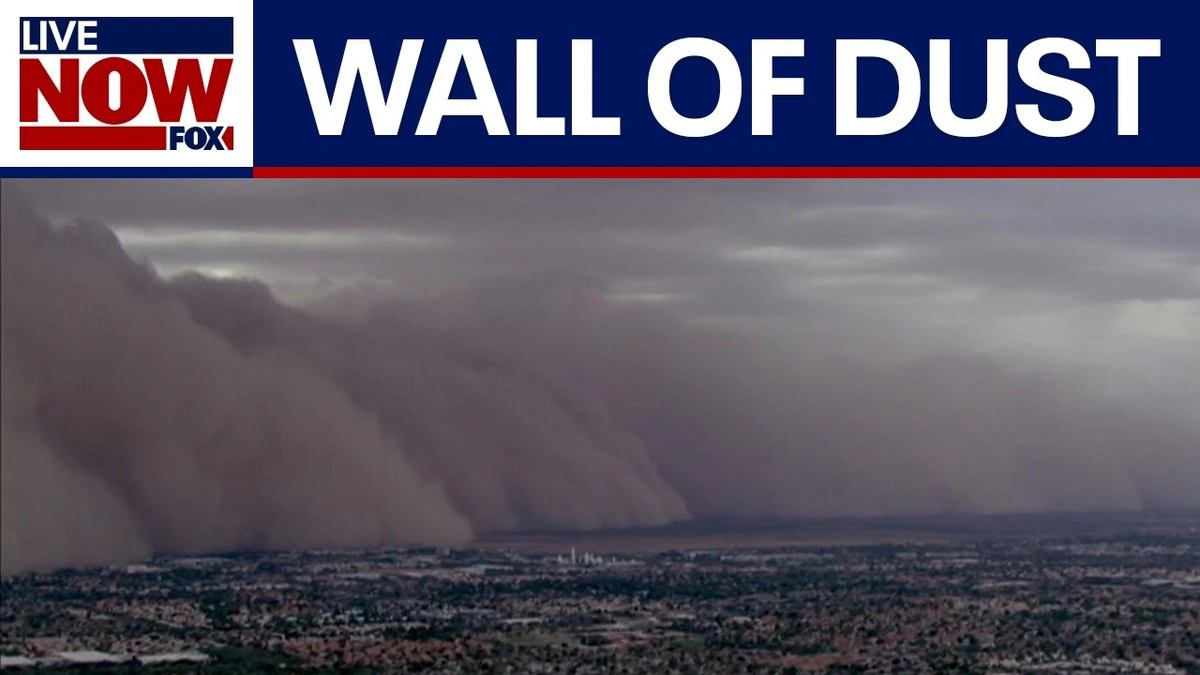
When that outflow boundary, which can travel at speeds of 50-70 km/h, hits the open desert, it can pick up enough dust to create a wall over a kilometer high and 150 kilometers wide. It’s an awesome and terrifying display of nature’s power, explained perfectly by organizations like theUS National Weather Service.
Ring a Bell? India’s Own “Andhi” and the Global Connection
Now, this is where it gets really interesting for us. As you’re reading about a thunderstorm collapse creating a wall of dust, does it sound familiar? It should. We have our own version of this, especially across the plains of North India.
It’s called the Andhi .
The Andhi (meaning “blinding storm” in Hindi) that sweeps through Rajasthan, Punjab, Haryana, and Uttar Pradesh during the hot pre-monsoon months is, meteorologically speaking, a very close cousin to the Phoenix haboob. The mechanism is almost identical: intense solar heating creates instability, leading to severe thunderstorms (often dry ones), which then collapse and send a massive wall of dust and sand racing across the landscape.
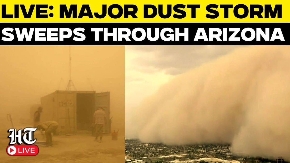
I’ve been caught in an Andhi in Rajasthan, and the experience is surreal. One minute it’s a hot, sunny afternoon; the next, you see a menacing, yellowish-brown wall approaching on the horizon. The sky darkens to an eerie orange, the wind howls, and visibility drops to almost zero. It’s the exact same phenomenon, born from different deserts but from the same atmospheric physics. The Arizona dust storm and the Andhi dust storm are brothers from another mother.
This connection is a powerful reminder that weather patterns don’t care about national borders. The physics that governs a storm in Arizona is the same as the physics that governs one in Uttar Pradesh. It’s a global system, and understanding one helps us appreciate the other. The latest news often highlights extreme weather, but understanding the science behind it is key.
Living Inside the Wall of Dust | What It’s Actually Like
Beyond the spectacular visuals, what’s it like to actually be in a haboob? It’s not pleasant. Within minutes, a city is plunged into darkness.
Visibility drops to near zero, causing chaos on highways and grounding flights at airports. The wind is fierce enough to down power lines and damage property. But the biggest and most insidious threat is the air itself. The concentration of particulate matter (PM10) skyrockets to dangerously unhealthy levels.
For people with asthma or other respiratory issues, it’s a nightmare. But there’s another, more unique health risk associated with these storms in Arizona: Valley Fever . It’s a fungal infection caused by inhaling spores ( Coccidioides ) that live in the desert soil and get kicked up by the haboob. The valley fever symptoms can range from flu-like to severe lung problems.
It’s a stark reminder that these beautiful, terrifying storms aren’t just for the cameras; they have real, tangible impacts on the lives and health of millions of people.
Frequently Asked Questions About Dust Storms
So, what exactly is a haboob?
A haboob is an intense wall of dust and sand kicked up by the leading edge of a collapsing thunderstorm’s outflow, known as a downburst. It’s not just regular wind; it’s a specific, powerful weather front.
Are Phoenix dust storms dangerous?
Yes, they can be. The immediate danger comes from the sudden drop in visibility, which can cause serious traffic accidents. The high winds can damage property, and the poor air quality poses significant health risks, especially for those with respiratory conditions and due to the risk of Valley Fever.
Do we have these kinds of storms in India?
Absolutely. The storms known as Andhi in Northern India during the pre-monsoon season are meteorologically very similar to haboobs. They are formed by the same process of thunderstorm collapse over arid land.
How long does a haboob typically last?
The most intense part of the storm the wall of dust passing over a location is usually quite short, lasting anywhere from 15 to 60 minutes. However, the hazy, dusty conditions and poor air quality can linger for several hours afterward.
Is climate change making these storms worse?
This is the million-dollar question. While it’s hard to attribute any single storm to climate change, the general scientific consensus suggests that increasing global temperatures could lead to more extreme weather patterns. For regions like the Southwest US and parts of India, this could mean more prolonged droughts (creating more dust) and more intense, erratic storms that can trigger haboobs. The research is ongoing, but it’s a serious concern.
Ultimately, the Phoenix dust storm is more than just a viral video. It’s a classroom in atmospheric science, a visceral lesson in the power of nature, and a surprising link connecting the deserts of Arizona to the plains of North India. The next time you see that colossal wall of sand on your screen, you’ll know exactly what you’re looking at: a haboob, a brother to our own Andhi, and a humbling reminder that on this planet, we’re all under the same wild, unpredictable sky.

